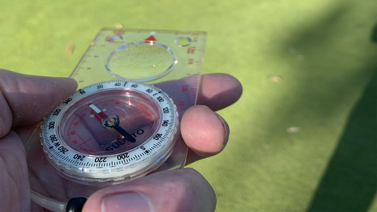
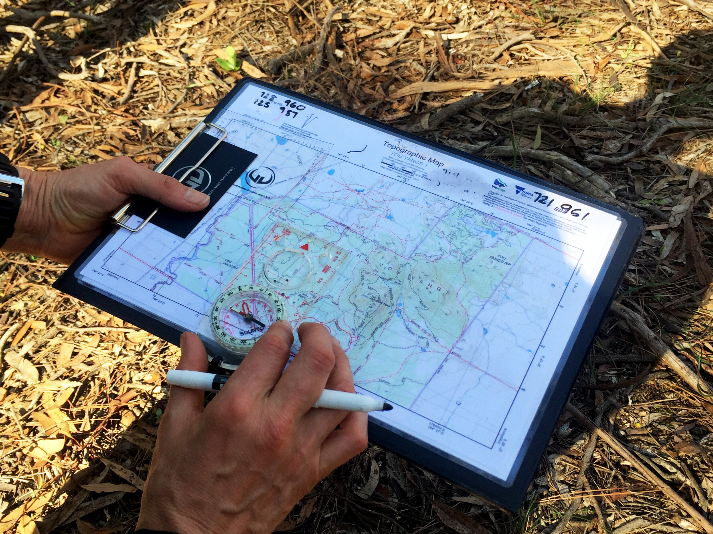
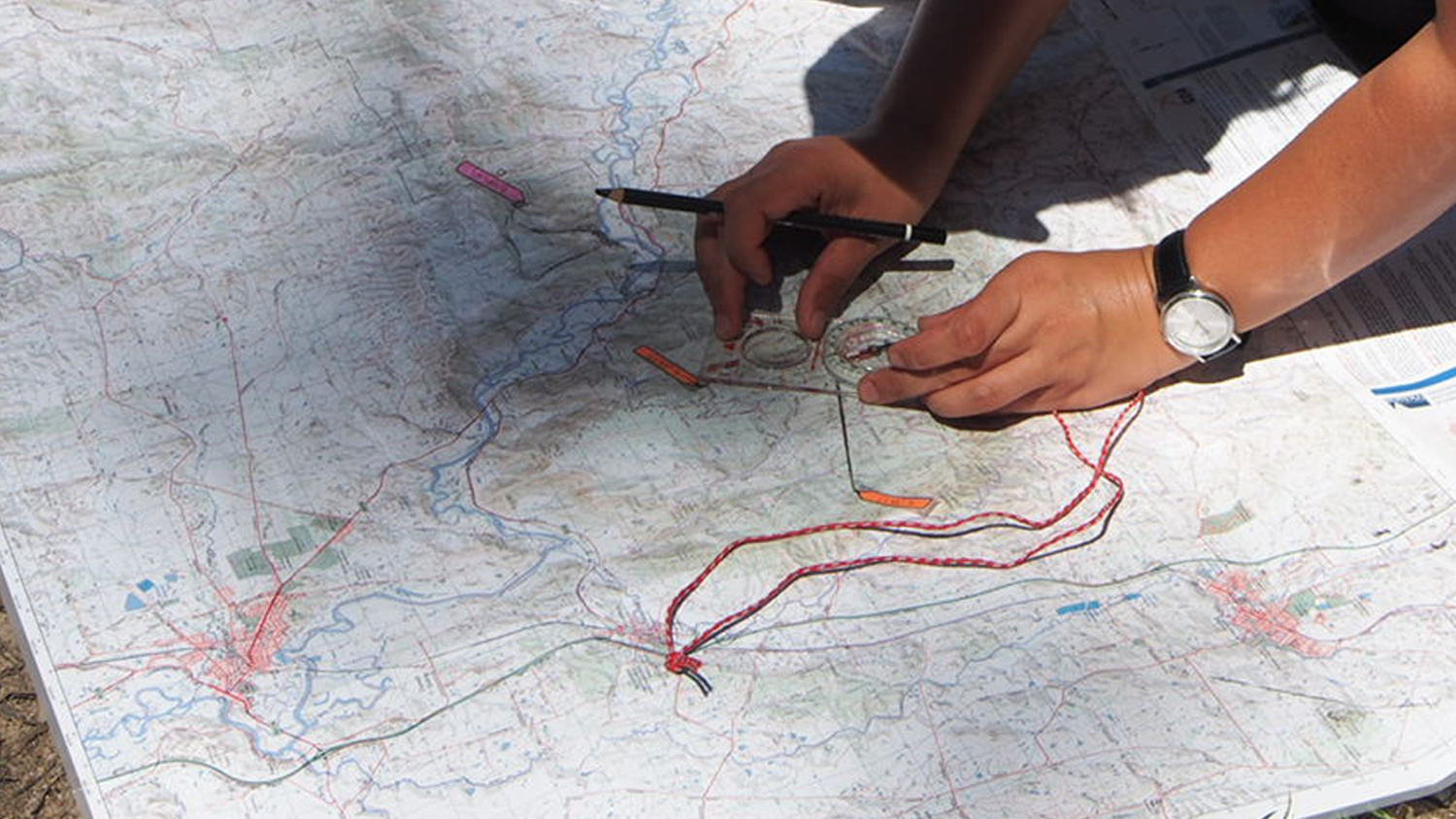
Whether you take a magnetic bearing in the field and want to use it to find your location on the map, or you take a grid bearing on your map and want to use it to find your direction in the field, you will need to make an adjustment to allow for the grid magnetic angle. This is how to do it.
Sometimes called grid variation, the grid magnetic angle is the angle between grid north (which is indicated by the grid lines on your map) and magnetic north (which is indicated by the magnetic needle of your compass). This angle will be stated on any good topographic map, along with the amount and direction of change over time so that you can calculate differences since the map’s production.
Adjusting for the grid magnetic variation involves a simple calculation in accordance with these two basic rules:
GMS – Grid to Magnetic Subtract
When you convert a grid bearing to a magnetic bearing, you need to subtract the grid magnetic angle.
MGA – Magnetic to Grid Add
When you convert a magnetic bearing to a grid bearing, you need to add the grid magnetic angle
There have been countless mnemonics to remember these two rules, ranging from 'Grand Ma’s Socks’ (GMS) and ‘My Great Aunt’ (MGA), to a number of iterations not suitable for publishing! At the end of the day, use whatever mnemonic works for you so long as you remember the rules.
Important: Note that, by convention, the grid magnetic angle is positive when magnetic north is east of grid north, and negative when magnetic north is west of grid north. The easiest way to conceive of this is if you think of a compass rose on a 360 degree circle where grid north is at zero (or 360) degrees. You can see that an angle of 10 degrees to the east would be at 10 degrees (that is, zero plus 10 degrees), whereas 10 degrees to the west would be at 350 degrees (that is, 360 minus 10 degrees).
It is important to keep in mind that adding a negative grid magnetic angle will actually decrease your bearing, whilst subtracting a negative grid magnetic angle will increase it.
Note: The term ‘magnetic declination’ is often used interchangeably with the grid magnetic angle. Technically ‘magnetic declination’ refers to the angle between true north (which is the direction of Earth’s Geographic North Pole, as would be indicated by lines of longitude on your map) and magnetic north.
Although true north differs from grid north, the practical implications are the same. If you are using a map that has lines of longitude instead of grid lines, you will still need to adjust for the angle between these and magnetic north in the same way as you would adjust for the angle between grid north and magnetic north described above.
Some Extra Theoretical Information (that you can ignore if it seems too confusing):
The concept underlying this process can be very confusing and difficult to comprehend, especially when you might be trying to do the calculations under pressure, which is why we teach the simple rules. Perhaps the easiest way to conceptualize it is to consider that the grid magnetic angle is expressed in terms of magnetic north being a departure from grid north. In other words, it is showing that the compass is not perfect in pointing north and will ADD an error (even if the error is negative in number).
Thus when we are converting from a grid bearing to a magnetic bearing, we are anticipating the error that the compass is going to add, and to correct that error we take it away, or subtract it. If we want to head north and know that the compass is going to point us in a direction 10 degrees too far to the east (a grid magnetic angle of +10), we have to compensate for this error and subtract 10 degrees from our bearing (so we set our compass to 350 degrees). Likewise, if the compass is going to point us 10 degrees too far to the west (a grid magnetic angle of -10), we have to compensate for this and subtract -10 degrees (so we set our compass to 10 degrees).
The reverse applies when converting a magnetic bearing to a grid bearing. In this case we know that we already have the error of the compass but that our grid bearing is minus the error, so we have to compensate by adding it.
Want to head out on the trails this season, but don't have the confidence to find your way? Join in on one of our Essentials of Navigation Courses.


For the serious athlete, this ultra-tough adventure course has been inspired by the gruelling SAS Selection and is designed to test your mettle.
Click here for details.